Date: Tue Jun 25 2013 - 16:38:28 MDT
Gracielle,
Your question is a bit vague. Also, you posted to the ncarg-talk email list,
but I would recommend using NCL, and hence posting your question to ncl-talk.
I'll answer your question, but in the future if you decide to use NCL, please subscribe to
ncl-talk and post there:
http://mailman.ucar.edu/mailman/listinfo/ncl-talk
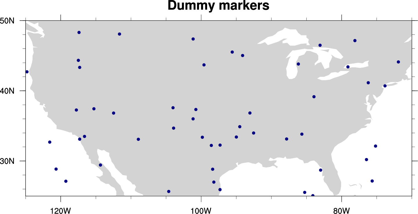
If you are just trying to draw a map with some lat/lon polymarkers on the map, then see
our examples at:
http://www.ncl.ucar.edu/Applications/polyg.shtml
I've also attached a simple NCL script and a PNG.
--Mary
On Jun 25, 2013, at 5:13 AM, Gracielle Siqueira wrote:
> Good morning!
>
> I would like to know if there is a map that draws the states?
> Besides, how can I include lat and lon marks in the figure?
>
> Thanks
>
> Gracielle
> _______________________________________________
> ncarg-talk mailing list
> ncarg-talk@ucar.edu
> http://mailman.ucar.edu/mailman/listinfo/ncarg-talk
_______________________________________________
ncarg-talk mailing list
ncarg-talk@ucar.edu
http://mailman.ucar.edu/mailman/listinfo/ncarg-talk
- application/octet-stream attachment: map_w_markers.ncl